01 / CASE STUDY
Project background
Project Background
This project serves a field team that needs to supervise agricultural drone work, review missions quickly, and intervene when something drifts off course. The previous tooling split fleet state, map context, route history, and operational analytics across separate surfaces, which made live judgment slow and handoff awkward.
The team did not need more data. It needed one control surface that could hold the operational picture together.
02 / CASE STUDY
Client and scenario challenges
Problem Definition
- Video, maps, telemetry, and event records lived in separate views
- Live supervision and historical review followed different logic
- Supervisors had to hunt for information before they could make a call
- Visual hierarchy was unstable under pressure, which increased the chance of missing the right signal
03 / CASE STUDY
Solution
System Approach
The goal was not to show more information. It was to shorten the supervision loop.
We organized the platform around three connected flows:
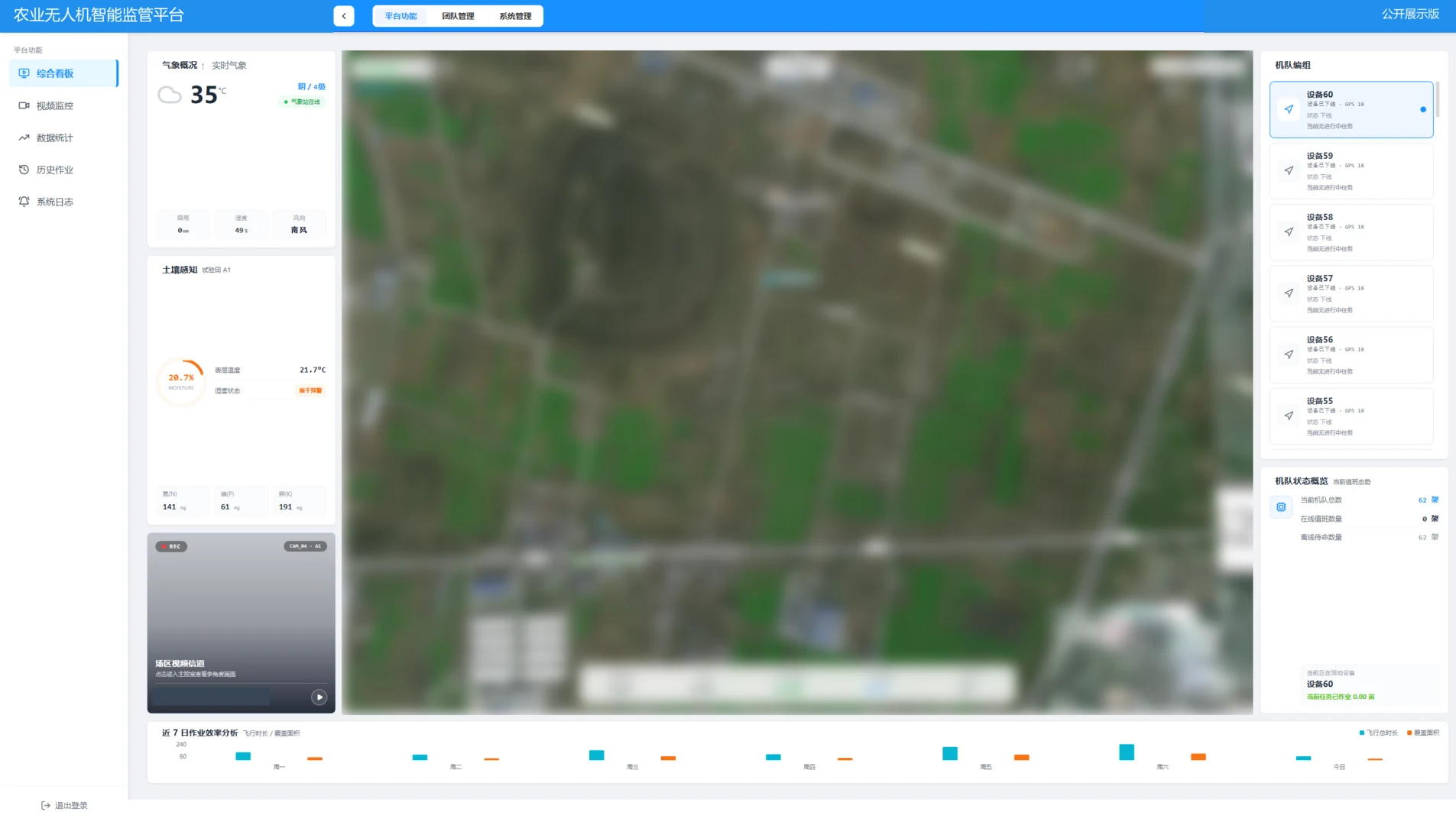
- Live supervision: video, telemetry, map context, and alerts in one active control surface
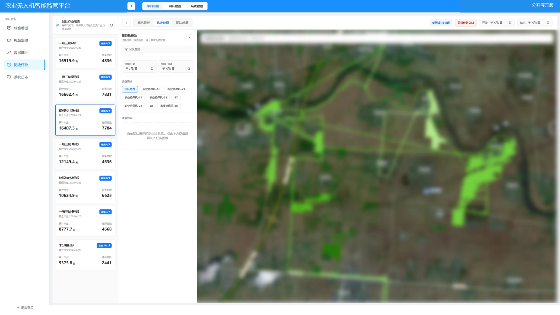
- Historical review: route history, time-based events, and operational context aligned for fast replay
- Supervision actions: filtering, locating, reviewing, recording, and follow-up carried in one working path
Architecture View
Field Data Layer
Drone video / telemetry / route traces / history records
Control Surface Layer
Live supervision panel / map sync / alert aggregation / timeline review
Operations Layer
Supervisor judgment / exception trace / review analysis / reporting
04 / CASE STUDY
Technology and capabilities
05 / CASE STUDY
Deliverables / prototype scope
Key Functions
1. Live supervision overview
Video, maps, flight status, and exception signals were brought into one overview so operators could understand the whole field condition before drilling into a single object.
2. Time-based historical review
Instead of a simple replay, the review mode aligns route traces, time markers, telemetry changes, and key events for investigation and follow-up.
3. Event aggregation and quick location
Alerts, exception locations, and supervision actions sit near each other, reducing the cost between seeing a problem and acting on it.
4. Reporting and follow-up foundation
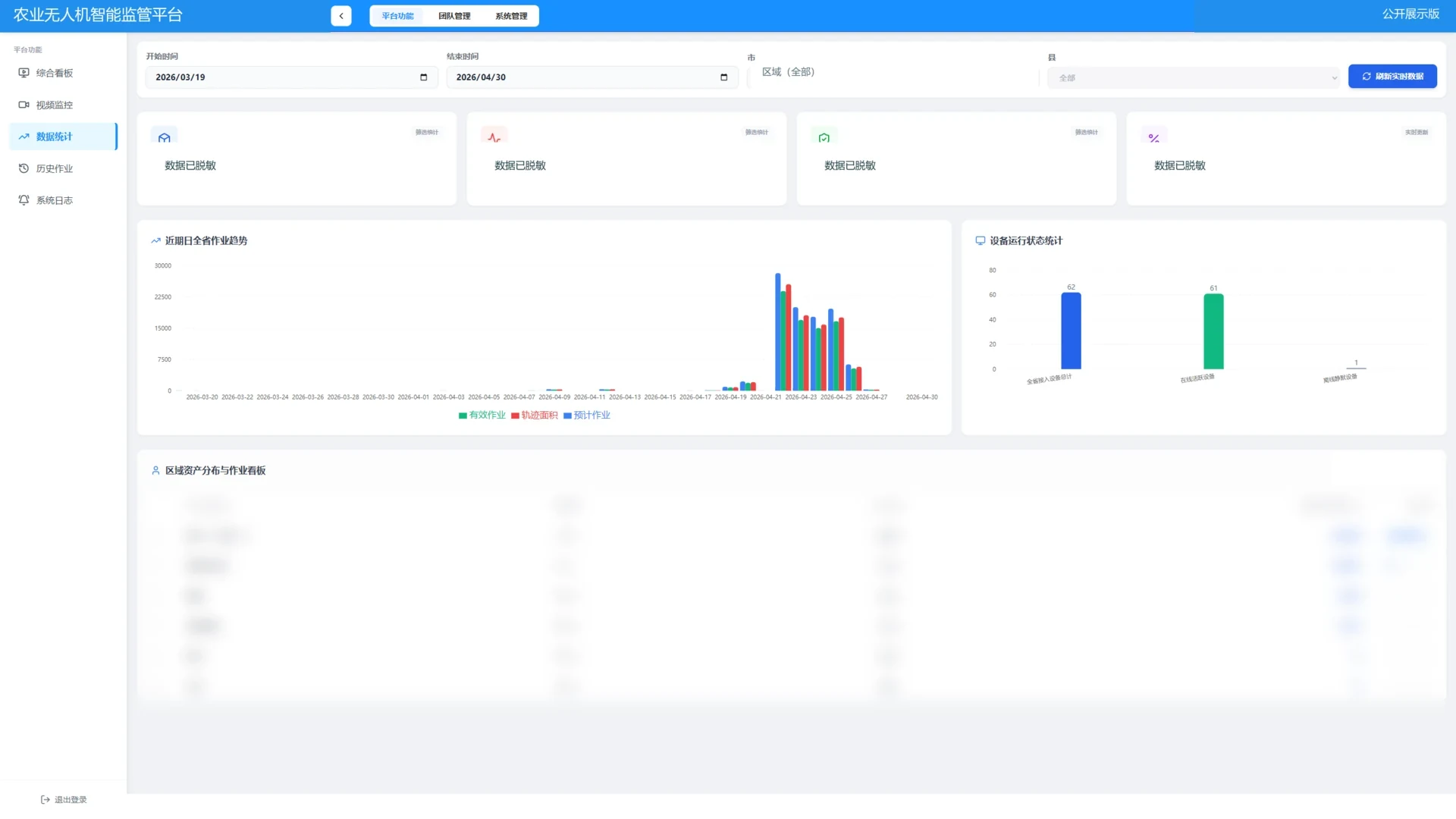
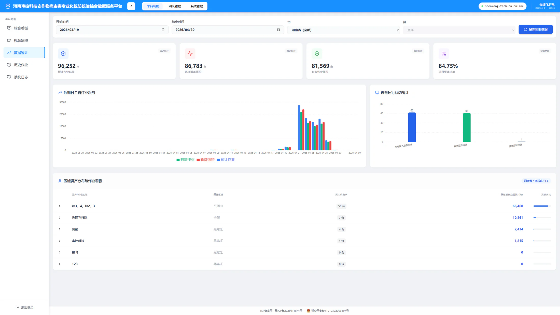
Historical views and key moments are preserved in a way that supports post-mission analysis, issue explanation, and operational reporting.
06 / CASE STUDY
Outcome and current status
Outcome
- Supervision signals no longer live across disconnected windows
- Live monitoring and historical review now share the same interface logic
- Operators can identify abnormal states faster instead of first reconstructing context
- The platform reads more like a stable operating system and less like a technical demo
The real value here is not visual spectacle. It is making supervision work more direct, calmer, and easier to judge under pressure.